Intro & Strava Link
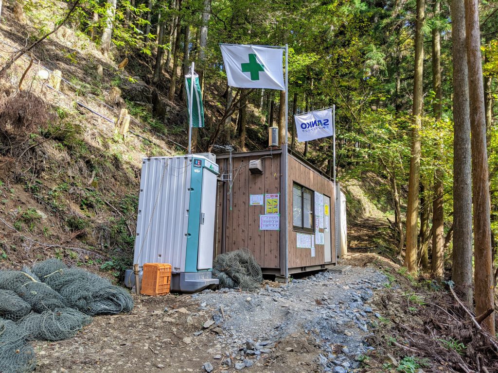
I was exploring the 343 branch of the Umeda-Kodaira Line 梅田小平線 just a few days ago and stumbled upon a construction crew. The guy who met me in the road gave me the classic crossed arms and “dame ダメ” exclamation but after I said hi and asked how the construction is going he warmed up quickly and we had a good chat about the state of things.
Unfortunately for me (and the cyclists of the Kiryu / Omama area things are not looking good for completion of the road any time soon :'(
None the less I have heard rumor of a hiking trail that connects the two sides of the construction and so I set out on a sunny fall day to take on the challenge!
Strava: https://www.strava.com/activities/4269404586
The Route

The plan was to go up the west approach from the Omama side on Rt 338 群馬県道338 up to the Komagata Hiking Parking Lot 駒形登山口駐車場.
From here, take the gravel rindo that connects it to the currently finished portion of the Umeda-Kodaira Line 梅田小平線. Then when the road ends see if I can find the hiking trail over the pass and down the other side to the road on the other side.
In map terms, the green line from the bottom to the light blue and then right onto the yellow, over the red question mark, hopefully end up back on the yellow on the other side, then take the green back into town.
Simple enough right?
Oh, and on the way I wanted to check out this small valley just off of Rt 338 群馬県道338. It’s that little jut on the green line on the right.
And that’s that. So how did it go?
The Ride/Hike
Part 1: The Road Well Known
I’ve ridden 338 before, so getting up there was nothing special, and once I popped into the little valley next door it was much of the same. I came over the saddle of the small valley thinking all was for naught, until I saw a beautiful gravel/dirt forest road off to the left side of the road & decided to take a detour to explore!

I went about exploring the amazing switchback that I saw first and alas it lead to a dead end 🙁
But still a cool little detour. So next was to check out the flatter route in the other direction. This lead to some cool roads which I explored a bit further until I came upon a fork and decided to leave it there for today. Still plenty of exploring on the main road ahead, so I put a pin in my personal map and left it for another day.
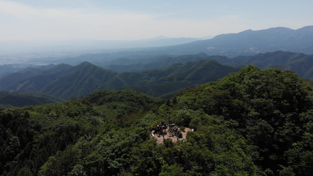
Back on the tarmac of Rt 338 it was next up to the Komagata Hiking Parking Lot 駒形登山口駐車場. This is a popular starting point for the hike to the top of Mt Narukamiyama, one of the best hikes in Kiryu. At something just a few meters under 1,000m Narukamiyama is a great view point that on a clear days sees as far as the Nikko area and Fuji.
But today I was to take the gravel rindo off to the left of the parking area up to the Umeda-Kodaira Line 梅田小平線.
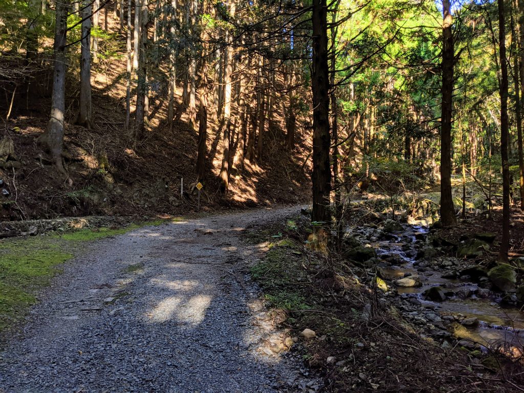
It’s a steep guy this gravel rindo, but save for one chunky section around 3/4 of the way in it’s quite rideable and the hikers on the trail will look at you with disbelief as you ride by >.<
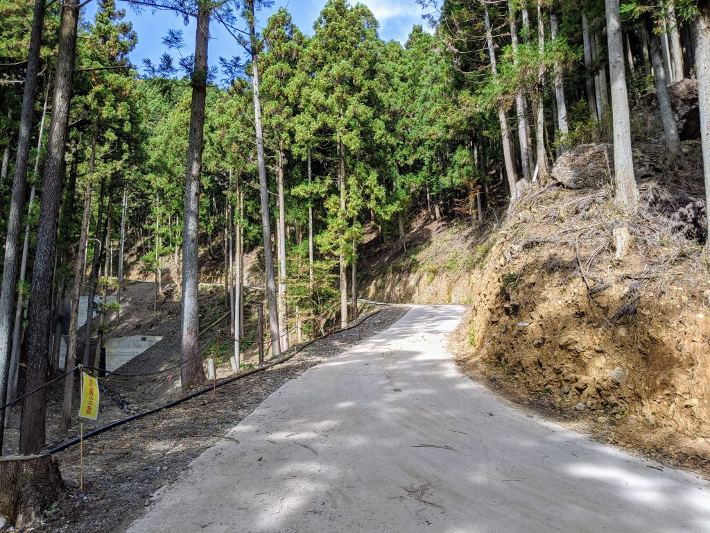
From here the pavement returns and it’s a right turn Umeda-Kodaira Line 梅田小平線. I’ve ridden the bit to the left that connects back to Rt 334 群馬県道334 小平座間線 and like that side this side from the gravel road is some immaculate pavement with a bit of debris on it.
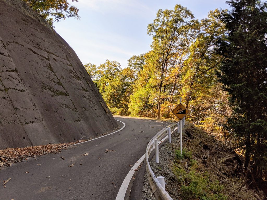
This continued for about 1.6km before the road abruptly stopped. Womp womp.
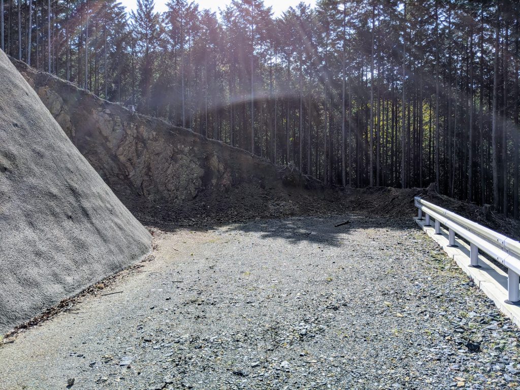
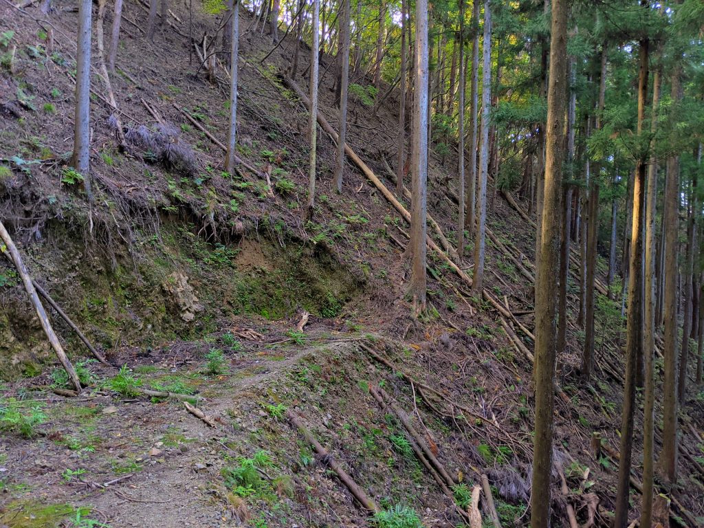
Luckily a quick look over the hump ahead and I spotted what I was pretty sure is a trail through the woods.
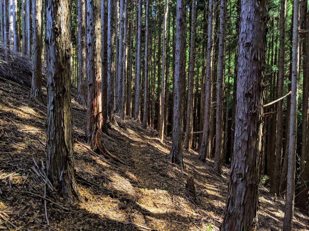
I was a bit skeptical at first so I walked a little bit without the bike first and saw it heading across the mountain which, after a quick check on the phone maps, confirmed it was the direction i was looking to head.
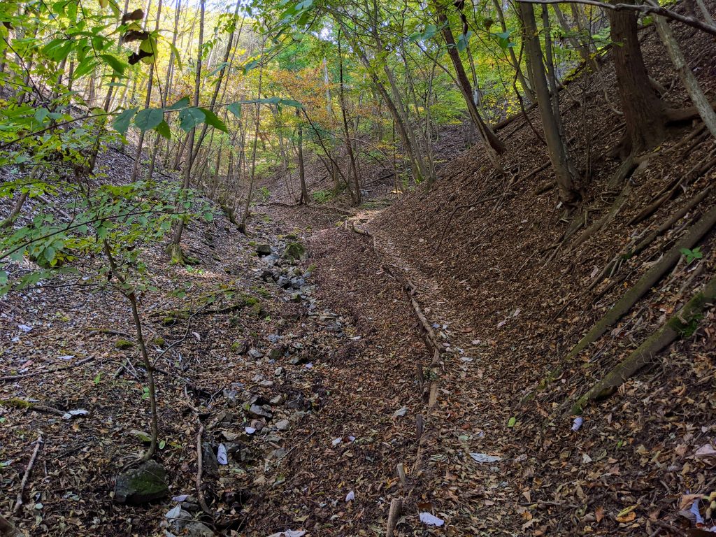
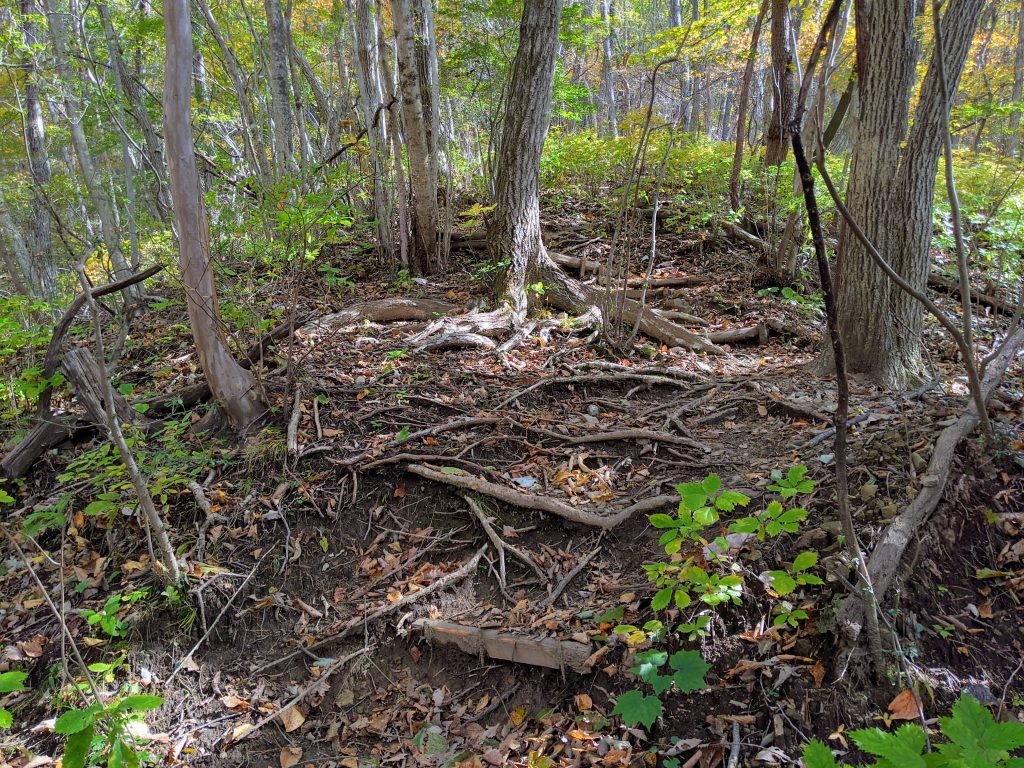
And about 500m ahead the trail merged with this very well cut trail!
It started off ridable but became steps not long after this and I began the best part of any of these adventures with unknown roads, shouldering my trusty steed and climbing 100m of stairs in the middle of nowhere. Fun right?
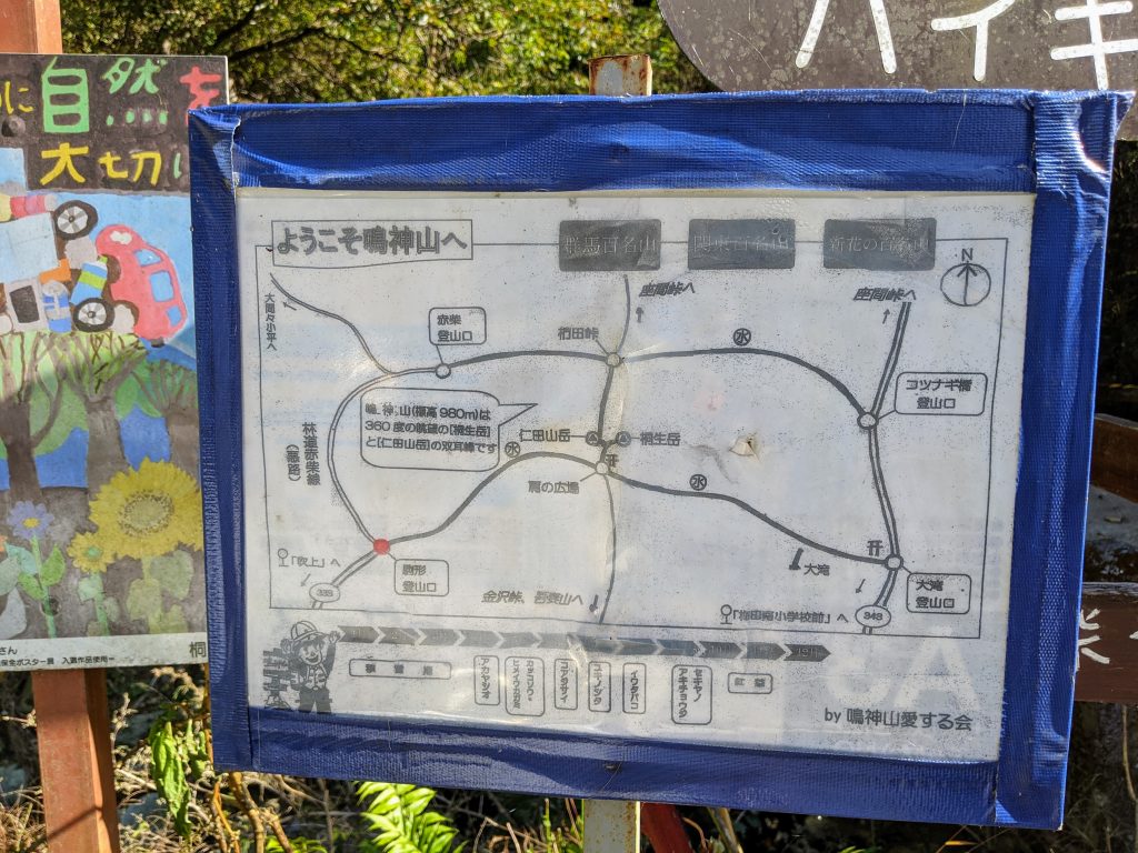
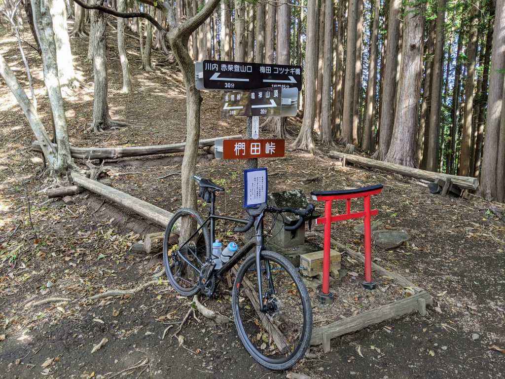
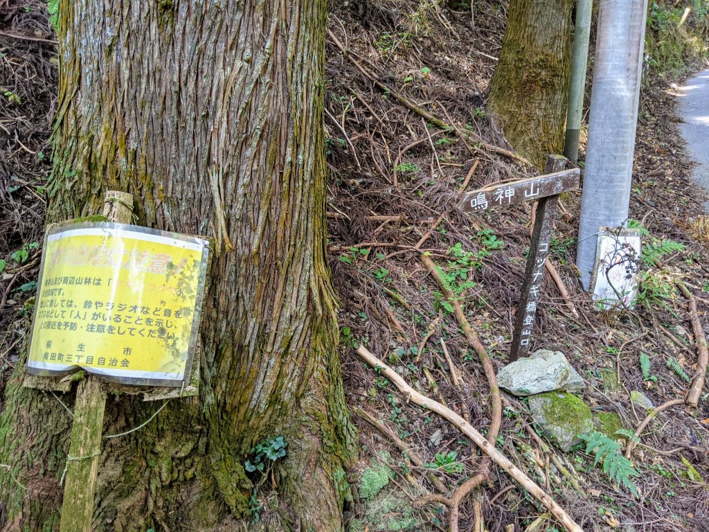
Luckily it was only about 15min of hiking up steep trails to the pass pictured below. The name is Kunugida Pass 椚田峠 and it looks like they Kiryu hiking association has put some new trail markers up on the ridge trail. Awesome!
Also, from here it shows just 20min to Narukamiyama 鳴神山, our local high peak hike in Kiryu. At 981m high and with an awesome clearing and shrine at the top it is a great day hike in Kiryu.
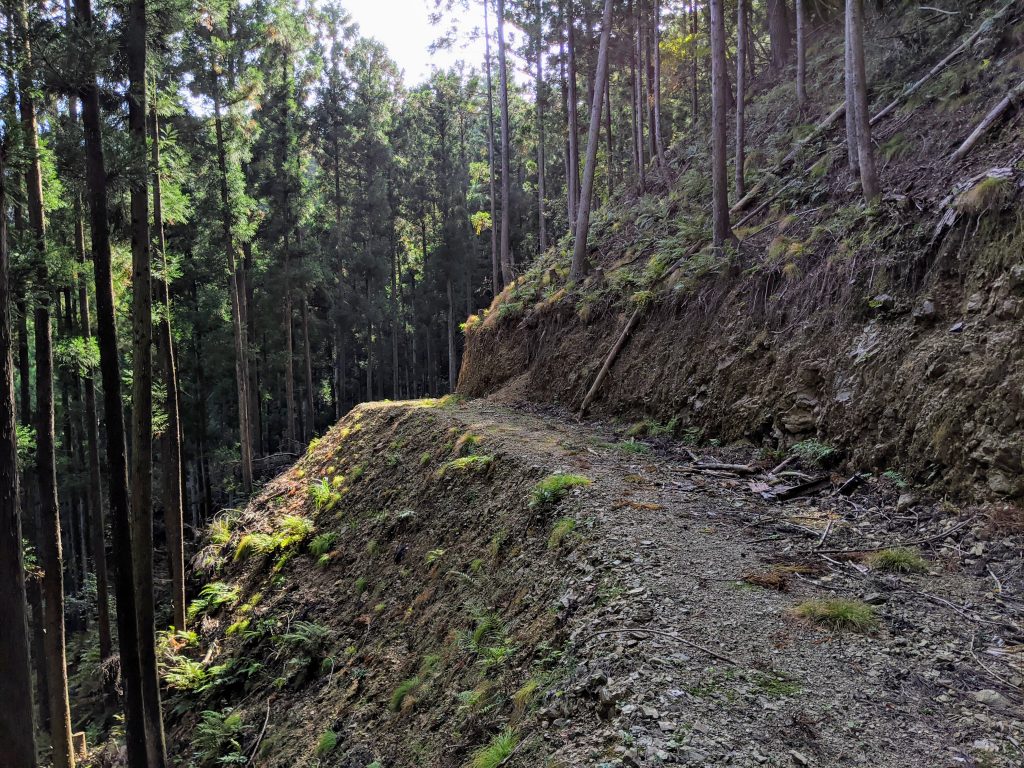
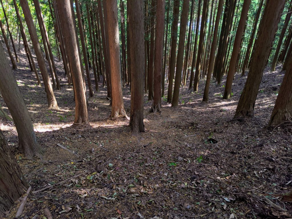
From here it was down into the pine forests! The trail was mostly hike to start but became bike-able on the second half.

I was hoping the trail was going to reconnect with the tip of the construction on the other side of theUmeda-Kodaira Line 梅田小平線, but it ended up dumping me out back on Rt 343 群馬県道343 a little ways down from the construction.
From here it was all downhill home, and I figured I would stop by and check out one other road I saw off of 343 under construction. It started with some great concrete road, but alas it too was a dead end into construction.
So with that, I headed home. But not before a quick stop at 7-11 for some yakitori (grilled chicken on a stick). It’s really the perfect after ride snack!

Another day another adventure.
I might do this one again sometime, but for now I have some other roads I will be exploring in the future.
In Omama they have a newly finished gravel road that will likely be getting paved this year according to the construction records, so for now it’s some 10km of awesome gravel. We will see. Until next time~